TechChange alumni are always doing amazing things. They have launched mHealth apps to help with HIV prescriptions in South Africa, started mapping projects for maternal health in Ghana and more. Today, we feature an alumna from our Mapping for International Development course, Dominique Narciso!

Since taking our course last year, Dominique has gone on to found her own mapping platform, AidWell. We caught up with Dominique to hear more:

Tell us about AidWell
D: AidWell is a crowdsourced mapping and collaboration platform that would make it easy and simple to know the development stakeholders within a given issue area, such as youth development or water.

What inspired you to start AidWell?
D: During my time at Georgetown’s Master of Science in Foreign Service Program, I began to see the emerging trends in international development, where new players were growing in influence and new types of innovations were being implemented across the globe. I thought to myself, what if there was a way to see how all of these organizations are connected, visually?

Then I took TechChange’s Mapping for International Development course and really saw the possibility of visualizing this information, which pushed me further to make AidWell a reality.

Why a mapping platform?
D: If you are looking to learn about what issues different organizations are working on today, there is currently no mapping tool that consolidates this type of information in an easy and user-friendly way. Right now, it is a tedious process to find that out; you may do some google searches, reach out to your networks, or laboriously look at some NGO directories.

AidWell steps in to make it easier to just see it all in one platform on a map. It would serve US-based organizations looking to make connections with local development stakeholders and for in-country organizations looking to collaborate and learn from one another.

Dom with her team 
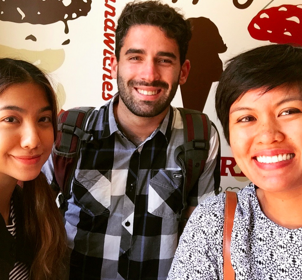
Dominique with her AidWell team

Where is AidWell right now?
D: Since starting-up, I’ve conducted a multitude of informational interviews with international NGOs, foundations, social enterprises, and donors to learn more about the need and potential viability of a mapping platform. Currently, our small AidWell team is conducting mini-experiments to understand demand and pinpoint the major challenges faced by potential users, when looking for local information of organizations.

Where do you see AidWell in a few years?
D: My vision for AidWell is to create the leading stakeholder mapping platform for the international development field, a mapping platform that opens up the possibilities for new connections and innovative ways for sharing knowledge. In the next 3-6 months, the AidWell team will be working on proving the concept, building a minimum viable product, and testing the platform in three pilot countries.

Some potential uses for this platform would include:

  • A first stop for program designers and donors when gathering information to design partnerships, cross-sector collaborations, or collective impact strategies
  • A resource for local organizations to see who is working on the same issues in their country, and potentially a virtual space for collaboration and learning
  • A country stakeholder map service for grantmakers and implementing organizations, that inform funding and stakeholder engagement strategies

Where does AidWell fit in the bigger picture?
D: With the Sustainable Development Goals being released the end of this year, there has been lots of conversations around cross-sector collaboration and public-private partnerships. One goal that stands out in this sentiment is Goal 17: ‘Strengthen the means of implementation and revitalize the global partnership for sustainable development.’

This one goal is a sign that the way development is being done will continually change, as we reimagine the way organizations work with one another, how knowledge is shared across sectors and across borders, and how unlikely players can contribute to innovative approaches for development. I believe AidWell can be a part of this bigger goal, by helping organizations make that first step in knowing and engaging with the right organizations from day one.

Check out Dominique’s platform, AidWell here. If you would like to help with AidWell’s research and/or share ideas on mapping, please get in touch with Dom at dnarciso@AidWell.org with the title ‘TechChange: AidWell Suggestion.’

Interested in learning more about how mapping can impact social good, check out our upcoming course on Mapping for Social Good that begins on October 26, 2015.

About Dominique
dom26
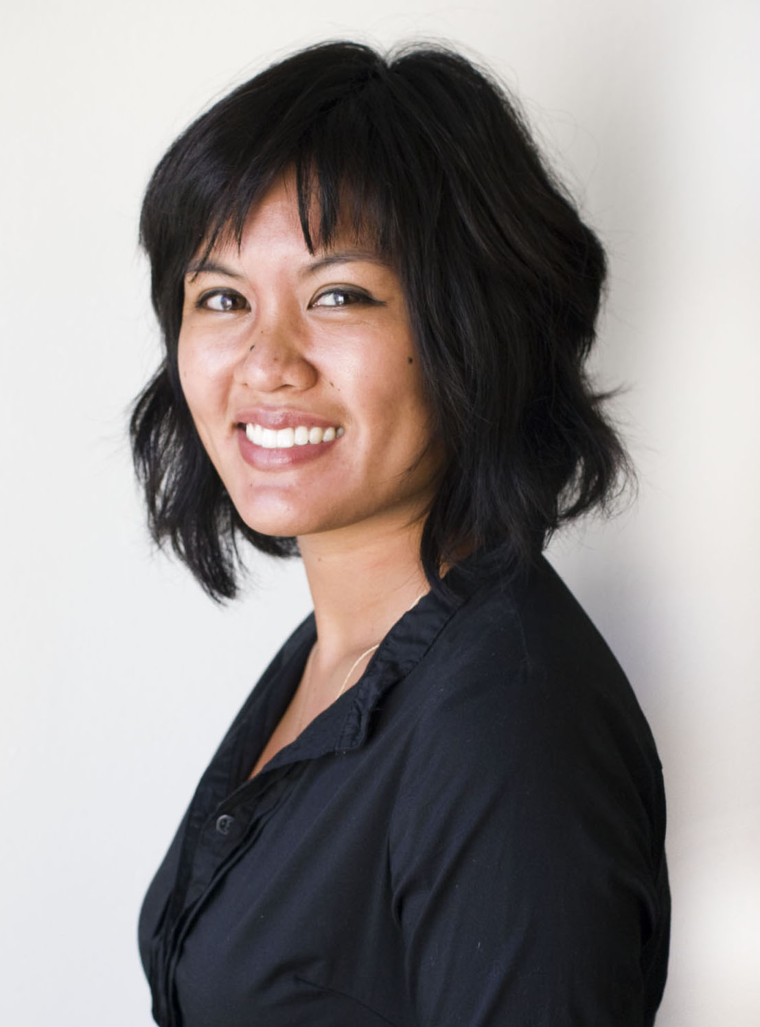
Dominique Narciso is a skilled relationship builder, creative implementer, and forward-thinking leader in the international development space. She has over eight years of experience working on community development initiatives, social enterprise, and economic development. She is the Founder of AidWell, a start-up organization working to catalyze cross-sector collaboration through a web-based mapping platform to connect and map out players in the development space. She worked at Social Impact as a Business Development Manager, designing their international processes for future business opportunities. During her service as a Peace Corps Volunteer in Costa Rica, she co-designed several youth, women, and economic development initiatives with community members and local leaders. She has a Master’s of Science in Foreign Service from Georgetown University and a dual BA from UCLA in Communication Studies and Women’s Studies.

What does urban design have to do with mental health? By 2050, at least two-thirds of the global population will live in cities, which means urban public health is fast becoming a priority. Policymakers, architects, designers, urban planners and others are starting to think seriously about how to design our cities in ways that reduce health issues like obesity or breathing problems, but one key aspect of urban public health can find itself under the opportunity radar: mental health.

The Centre for Urban Design and Mental Health (UD/MH) hopes to change this. Launching this week in Washington DC, this startup think tank seeks to answer one question: how can we design better mental health into our cities? UD/MH plans to bring together interdisciplinary thinkers and doers to share ideas and find solutions. They will curate research, provide analysis, showcase innovation and host interdisciplinary dialogues in cities all over the world.

UD/MH

We know cities can make us happy. For example, they can facilitate social interaction, deliver low-stress commutes, and may provide us with lovely green spaces. But we also know that cities can also make us less than happy. City living is associated with increased depression, anxiety, and even schizophrenia.

Can we adapt the urban environment to improve our mental health and wellbeing? And how can mobile technology help?

Right now, mHealth is emerging as a promising tool to help us understand how urban design affects mental wellbeing. The Urban Mind Project is a current London-based pilot research project that invites people to regularly track their mental wellbeing over the course of a week via a mobile app, which relates their feelings to different aspects of the urban environment. The researchers hope their results will inform future urban planning and social policy on urban design and mental health.

“We can use digital technologies to try to understand how the built environment affects us, affects our well-being and our health, and maybe it sounds a bit too optimistic, but I think it must be possible to build better environments,” says Andrea Mechelli, the lead investigator on the study. “It seems an obvious thing to do, but it’s not really happening. Often, urban planning is motivated by other reasons. Why should it not be motivated by people’s well being and health?”

The Urban Mind Project is a collaboration between King’s College London, J&L Gibbons, Nomad, A&E, the Van Alen Institute and the Sustainable Society Network+. They aim to analyze the data and demonstrate how urban environments affect mental health. One example is looking at the way urban environments can influence whether a person is more or less likely to develop an addiction. If you happen to be in London, you can sign up to participate here.

Screen shot: Urban Mind Project

Screen shot: Urban Mind Project

If you’re not in London, you will soon be able to start tracking urban design and mental health via your phone using Gensler’s new PoppySeed app. PoppySeed plans to crowdsource how different city locations make people feel, and direct them to locations that others associate with positive emotions. The data being gathered by this app is also poised to feed into future decision-making around urban design. Right now, you still need an invitation code to join the fun but here’s a video that gives an overview of the app. mHealth for urban design and mental health is in its infancy, but it is growing and this is an exciting time.

As the Centre for Urban Design and Mental Health gets underway, we can look forward to the results of these experiments, and to others sharing their innovative mHealth projects on the think tank’s Sanity and Urbanity blog. In the meantime, other ways in which urban design can improve mental health will be explored at the UD/MH launch event on July 7th. A limited number of tickets are still available here.

Interested in learning more? We will be exploring initiatives like UD/MH in our upcoming Mapping for Social Good online course that begins on July 20. 

About Layla

Layla McCay

Layla McCay, a TechChange mHealth alumna is a psychiatrist, health policy specialist, and adjunct professor in international health at Georgetown University. Trained at the Maudsley Hospital and Institute of Psychiatry in London, she has worked for the World Health Organization, the World Bank, and several global health NGOs. She is passionate about the determinants of mental health and how people interact with the built environment. Layla is the Director of the Centre for Urban Design and Mental Health, launching on July 7.

In a previous post, we wrote about how ICTs were helping people all around the world respond to the Nepal earthquake. Today, Luther Jeke takes a closer look at the mapping efforts during the response.

Do you remember where you were the morning of April 25, 2015? I will never forget. I was at my home in Washington D.C. catching up on emails and the news. I was shattered when I saw the headlines for the earthquake in Nepal. The 7.8 magnitude earthquake that was going to later claim more than 8,800 lives and injured more than 23,000.

I’m based in Washington D.C. through the Atlas Corps fellowship and have Nepali friends in the fellowship here as well. After getting the details of the devastation in Nepal from several news sources, I reached out to the other Nepali fellows, including Samita Thapa, who is based at TechChange. I knew that Nepalis who were living abroad may feel helpless being so far away and I had the thought: what if they could volunteer digitally?

Nepali volunteers

I have been a member of the Standby Task Force (SBTF) since 2011. The SBTF organizes digital volunteers into a flexible, trained and prepared network ready to deploy in crises. Launched at the 2010 International Conference on Crisis Mapping (ICCM 2010), the SBTF was created “to streamline online volunteer support for crisis mapping, following the lessons learned in Haiti, Chile and Pakistan, and to provide a dedicated interface for the humanitarian community.”

But just having a digital mapping community isn’t enough. Having local information and networks on the ground is crucial, so the three of us coordinated a group of Nepali volunteers to assist the SBTF digital humanitarian efforts that mapped the Nepal earthquake by analyzing social media content. Together, we were able to recruit around 200 Nepali volunteers who tirelessly helped the mapping team by feeding, translating, and verifying information from our social media network in and out of Nepal. We were constantly on Facebook, Twitter, and Skype over a period of two weeks to help with this digital humanitarian deployment and to map the crisis.

The Mappers

We helped the SBTF collect, verify and map over 1,000 lines in the information management database of the Nepal earthquake. About 5 million tweets were processed by the Artificial Intelligence in Disaster Relief platform (AIDR). Our volunteer group was instrumental in helping the SBTF click through more than 60,000 images and 10,000 messages that were being geolocated onto this map below, with around 200 volunteers joining the Nepal Advisors deployment.

Nepal Earthquake on MicroMappers
Tweets and images geolocated by SBTF volunteers on MicroMappers

The data was used by many humanitarian organisations like Doctors Without Borders, Nepal Youth Foundation, Government of Nepal, governments of various other countries responding to the earthquake, and more. It has been used to assist and accelerate the coordination of humanitarian groups on the ground. We processed an extraordinary range of data streams during the 12 days of the deployment and geolocated pictures and messages of needs and offers of assistance, provided maps and tables and supported other organisations and groups to streamline their processes. Our team worked closely with many other groups throughout this deployment. You can read about our efforts and success over on the SBTF blog.

I have learned from my mentor, Patrick Meier that anyone can be a digital humanitarian. All you need is a big heart and access to the Internet. I reached out to the Standby Task Force and with huge efforts from Medha and Samita, we founded a volunteer group of Nepalis to digitally support the work of the SBTF in Nepal. To learn more or to get involved, check out their website here. They can alway use your support whenever disaster strikes.

Digital mapping has been used in disaster response, maternal health, WASH programs, and more. Interested in learning more ways mapping is being used for social good? Sign up for our upcoming Mapping for Social Good online course now!

About Luther


Luther is an Atlas Corps Technology for Development Fellow serving at Creative Associates International (Creative). Luther provides support to the Technology for Development (T4D) unit which is responsible for incubating new ideas of how to use technology interventions at Creative. Learning about the latest in information and communication technologies for development and contributing innovative solutions are his two key missions at Creative. He has four year of experience in the nonprofit sector, and earned a Bachelor’s of Arts in Sociology and has a wealth of experience in the Information and Communication Technologies (ICT) sector. In his most recent capacity as iLabLiberia’s Director of Training, he and his team provided more than 3,000 Liberian and foreign nations the opportunity to use the innovation lab and gain new technology skills. You can learn more about Luther here.

This post originally appeared on the Atlas Corps blog.