By Kate Pawelczyk, UNICEF – Cross-posted from Voices Of Youth
Maps can represent many things – adventure, discovery, a journey, a return home or even a sense of order – but now they are also representing youth empowerment.
In 2011 UNICEF staff from New York and Rio de Janeiro, a team of digital innovators, government officials, community leaders and other partners came together on a mission: to train young people to create maps which depicted the social and environmental risks in their surroundings.
Two years, 12 communities and two countries later, this process of training youth to map and participate in the improvement of their neighborhoods is Voices of Youth Maps, a UNICEF initiative which promotes the use of digital mapping to empower young people.
Voices of Youth Maps is now looking for up to 50 tech-savvy individuals from around the world who are ready to help test the newest feature of the digital mapping technology: a system that allows users to draw attention to the most urgent issues they have mapped.
Creating maps, promoting change
There is no better way to see the potential of digital mapping than in Morro dos Prazeres, a neighborhood in the heart of the Santa Teresa area of Rio de Janeiro. In 2011 the first training of young digital mappers took place in Prazeres with UNICEF, the Public Laboratory for Open Technology and Science and the MIT Mobile Experience Lab. Since that first training, 50 youth mappers in Prazeres have collected information on social and environmental risks with a specially designed mobile and web app called UNICEF-GIS.
UNICEF used the maps the young people created to work with the local municipal government to find and fix the most life-threatening issues documented by the young mappers. Spurred by the work of the mappers the community also decided to address the issue of garbage, which was captured on the maps, launching a community-based Reciclação program for recycling and garbage disposal.
Mapping successes bring a new challenge
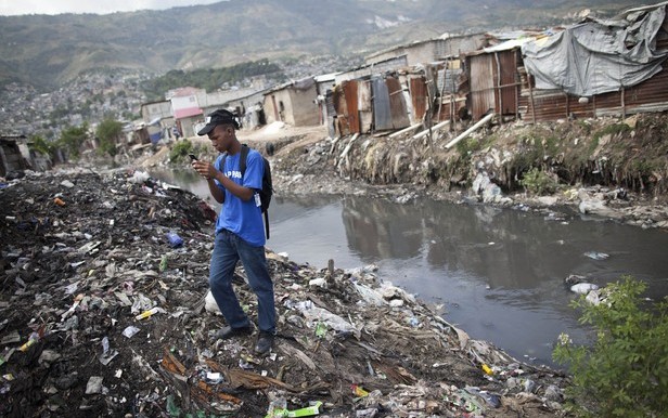
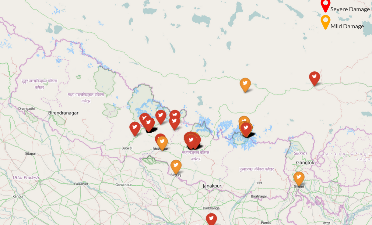
In 2012, expansion of digital mapping in Rio and in Port-au-Prince, Haiti, revealed a new challenge. With so many reports coming in, those responsible for assessing the digital maps could no longer quickly see which reported issues were most important. A life-threatening landslide risk near a school demanded more urgent attention than a pothole in the road; a way to rank reports by urgency was needed.
To help create a solution, the John S. and James L. Knight Foundation provided UNICEF with a grant from its Prototype Fund to test ideas on how to rank the reports and improve the mapping technology. Working with an organization called Innovative Support to Emergencies, Diseases and Disasters, and with technical advice from MIT, UNICEF developed its Urgency Rank Prototype.
Now the prototype is complete, and Voices of Youth Maps needs your help to test it. During a month-long program the selected testers will learn about how the Urgency Rank works, upload real reports to a map and provide feedback on the system.
If you are between 18 and 25 years old, have access to a computer and the Internet, and have an interest in environmental issues you can apply to test the Urgency Rank Prototype by filling out this form.
Applicants should submit their forms by 30 July 2013.
Note to applicants: The selection process will not be on a first-come, first-served basis. In selecting the participants we will strive to have representation from as many regions of the world as possible, as well as gender balance.
Since the Urgency Rank system is a prototype reports that are submitted will not be acted upon or reported to any authorities.


